7 November 2017
Exposed
Hiking Mount Ibuki as a day trip from Gifu
Today I went to Mount Ibuki, one of Japans 100 sacred mountains, whatever that means.
First of all, health report, I fear I am succumbing to the mucus spraying local populations snot plague. I felt tired yesterday and last night and today my throat feels weird. It may only be pollution poisoning. These are the end times.
I hoped last nights extra chilli would kill anything living inside me, but so far it hasnt, however I havent spiralled downhill yet either, more vitamin c, more placebo moooorreee!!!!
I could have decided going to a big mountain when I am not sure of my health status was a bad idea, but no, I decided to go anyway, and see how fast I could go up it!
Depending on where you read, it can take 5 hours or 3 hours, but I did it in 2 hours. I really did push as hard as I could up the long exposed switchbacks, and it was awesome.
There are a couple of ski field plateaus, no snow today though, its 23 degrees again and I was in shorts still. Instead of skiiers there were a couple of paragliders.
Anyway, I enjoyed the lack of trees, views all day, as you will see, with my excessive boring view pics.
I see to be talking in an abbreviated manner.
There is also a toll road to the top of this mountain, its highly impressive to me that they can make a road all the way up there, it comes a much longer way up a ridge down the other side, its far too steep up the way I hiked.
Me and all my hiking girlfriends (working day, very few men) didnt seem to mind. It means there are vending machines, a cafe and toilets at the top. I didnt use the cafe, but did use the vending machine and toilets.
It is also a very popular hike, once you get to the actual start, its about 5km from the nearest station and I ran it, through a deserted town. Apparently theres a bus, no time to mess about waiting for that to sort itself out, for me its quicker to run up the road.
Once on the trail, I passed heaps of people, and they seemed shocked I was in shorts. I think some of the people in all their alpine gear were mocking my stupidity, this is common. Also I am full of stupidity, the truth is somewhere in the middle.
However even at the top, it was not at all cold, even when cloud rolled in occasionally. I sat outside on the ridge enjoying my pocari sweat and some chocolate coated almonds I negotiated to buy off a grandma at the bottom. I am not sure they were actually meant for sale at her little stall!
There is only one path up and down, and on my way down I passed a lot of people still on their way up, some werent even half way up yet, many said the same thing when they saw me coming, 'oooooooh, so fast!'.
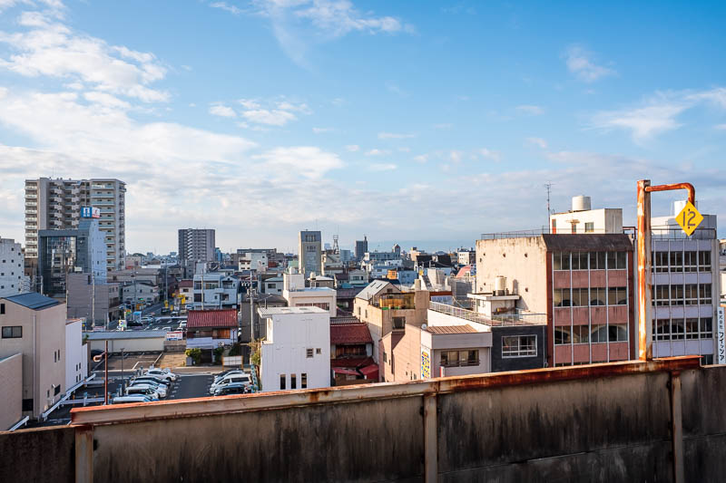
First I had to change trains at Ogaki, which is actually a castle town, and also the start of the Yoro line that goes up a long valley to many other castles.
I might go there tomorrow, then again Gifu is also a castle town, theres a big castle on top of a hill in Gifu somewhere. The weather was perfect as you can see.
On my run up from the station I forgot to take a photo of the mountain from afar until too late, you will see it on my way back...
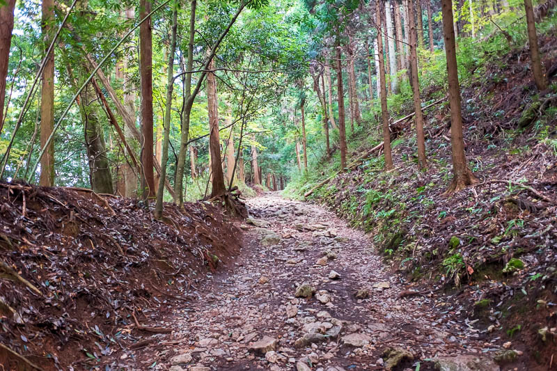
Heres the start of the trail, in woods, I expected a fully exposed trail so this was surprising. Let the fun commence! I was running up hill here.
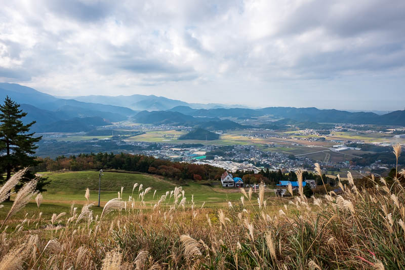
The woods didnt last long. This is the top of the lower ski field, theres a few lodges, all shut, but they have vending machines and toilets.
This is already quite high up, probably nearly an hour from the trail start. The plateau is deceiving, the bottom is a long way down from those buildings.
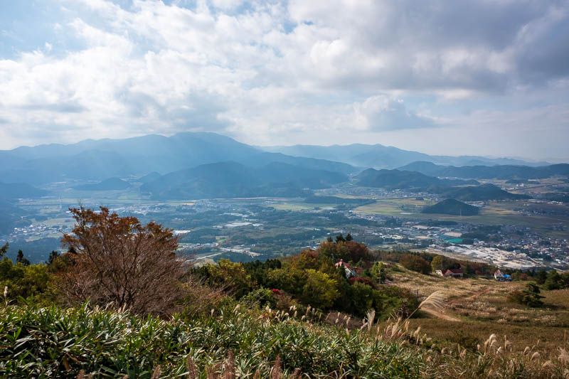
A bit further up, enjoying the all day views.
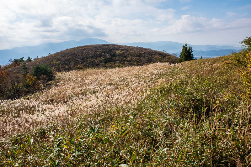
The views were golden at times, I turned the color down, it was more golden than this!
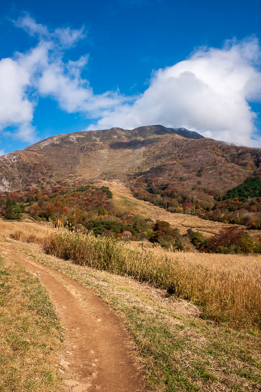
After I got over a ridge I could finally see the summit peak. It looks very far away, I better get a move on.
This was one of very few flat bits actually, It was constant switchbacks for 90% of the journey.
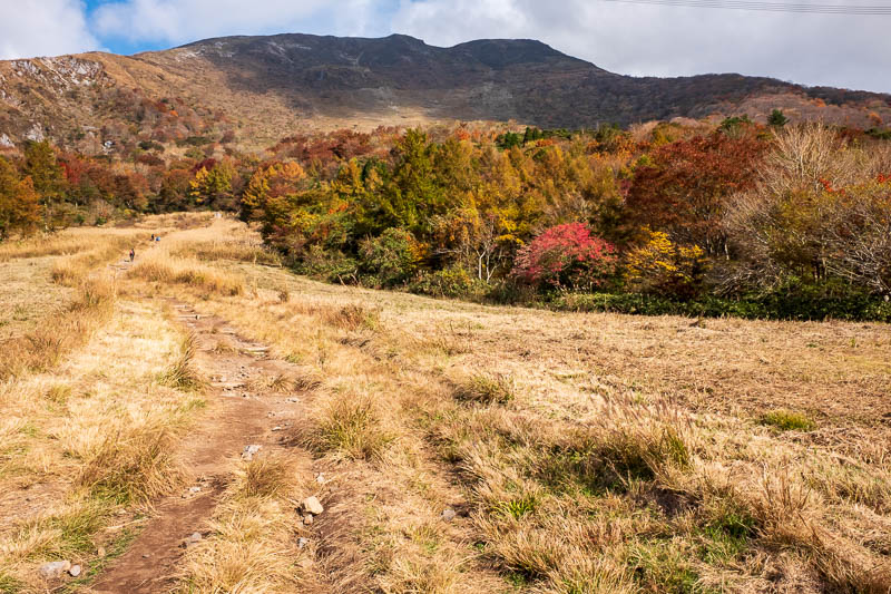
A nice bit of colorful forest, and people on the path ahead, I will pass them soon. The summit still looks a long way off.
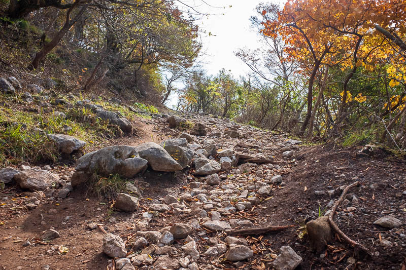
Probably already past peak color here. This is one of the very few sections in amongst some trees.
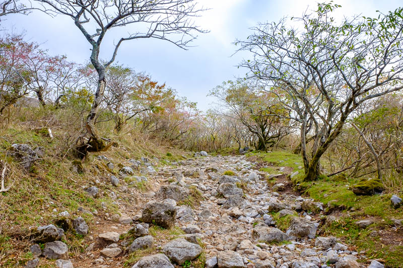
Rock garden. The path was generally rocky, probably 2/3 of the time like this. My shoes look wrecked!
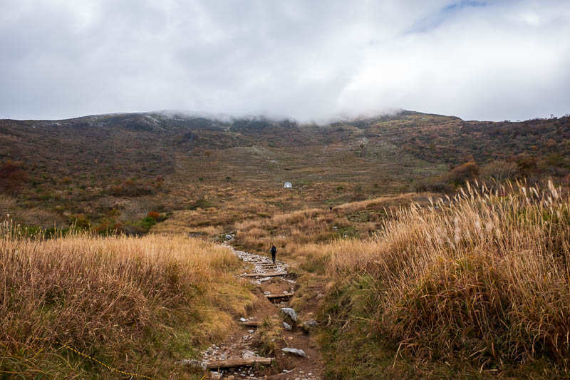
At times the summit was in cloud. I was concerned I would be freezing cold up there. I was not, not at all.
This photo makes it look like its downhill. I assure you its not, not at all.
I like to say not at all.
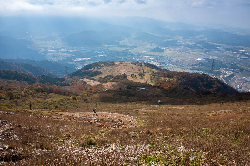
Nearly there. Its a lot steeper down than it appears. I always say that.
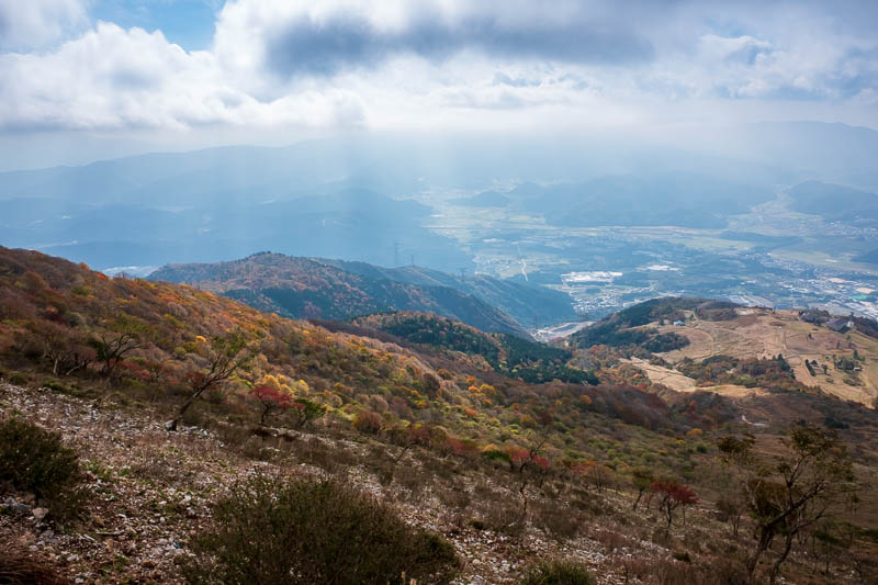
Slightly superfluous, but I like the clouds. I say superfluous a lot.
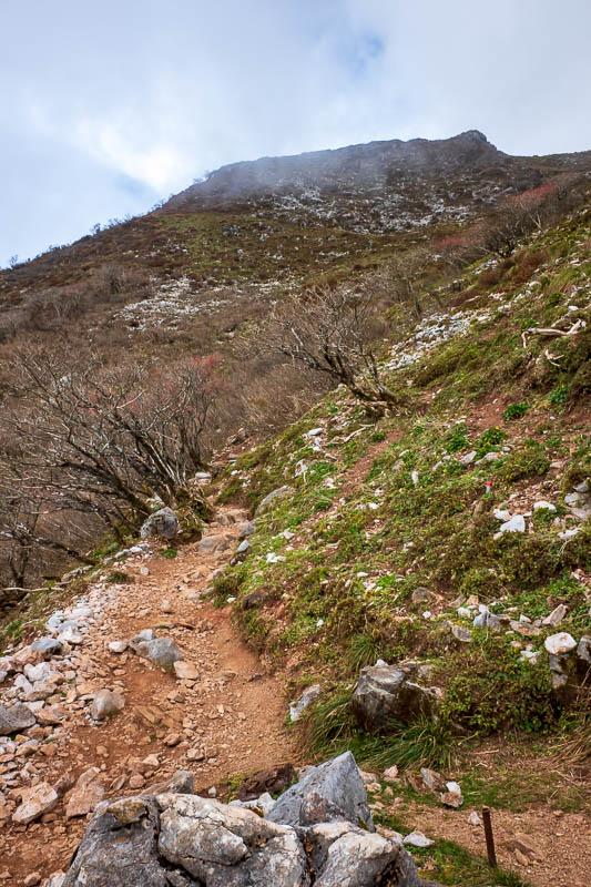
Almost there, still pushing hard, sweat was running off me, down my back, down may pants, down my legs, filling my shoes!
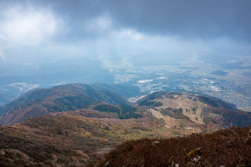
And finally, at the top. I was quite pleased with my progress.
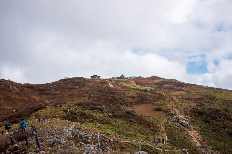
There are a few different summit markers, over there is the little village that you can get to from the car park on the other side in high heels.
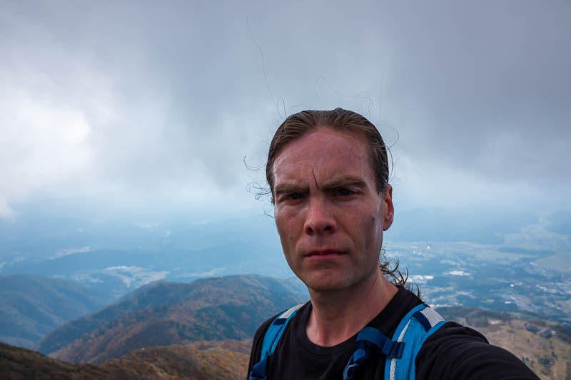
There I am.
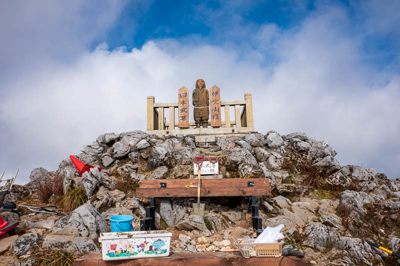
The official summit marker I think, someone has piled up their gardening tools at its base.
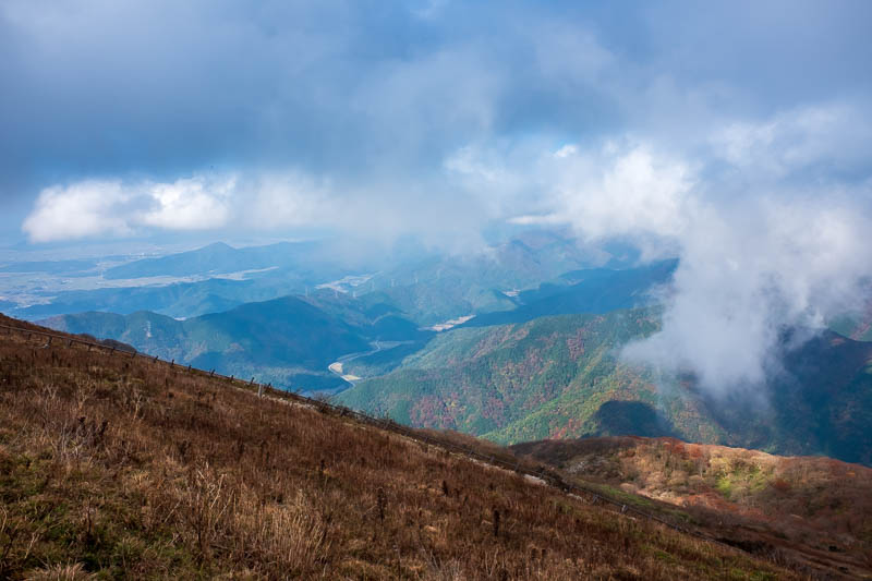
The far side of the mountain. This is the most prominent mountain for a long way in any direction.
Because of its prominence, you have this situation -
'Mount Ibuki is well known for receiving the world's heaviest snowfall in recorded history. On February 14, 1927, the depth of snow at the top of the peak was 11.82 m (38.8 ft) according to government records, which is a world record.'
Today, 0 feet.
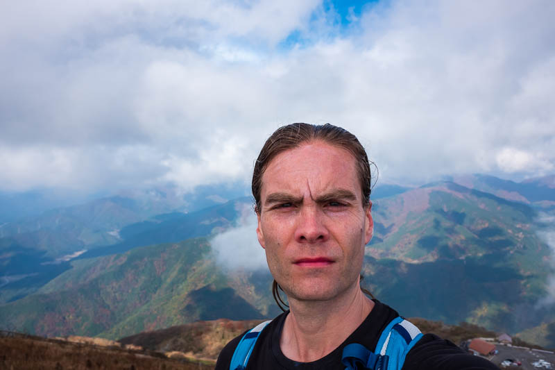
Me again, squinting. You can see the carpark in the bottom right of this pic.
A lot of people hate the fact you can drive to the top. Whilst it detracts from the mystery somewhat, cause when you get to the top theres a few hundred people up there who drove up, I dont have a real issue with it.
They have at least done a pretty good job of hiding the road, if only they could bury the huge high voltage electricty towers that are all over the mountain.
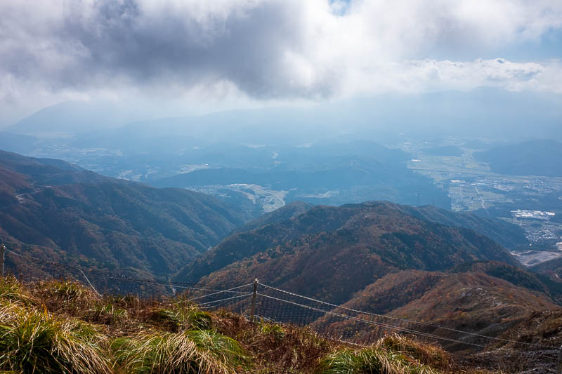
I took a couple more shots.
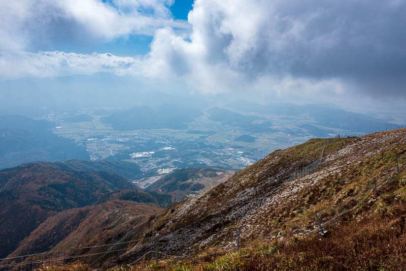
Last one, time to head back down the same way, no photos on the way down, too treacherous, had to put my camera in my little backpack and do up the straps.
I never fell over once, my shoes are awesome.
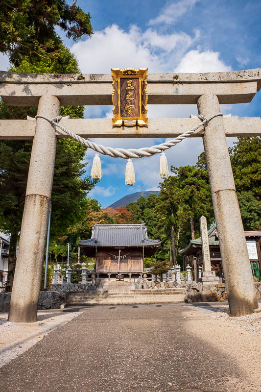
There is a little temple thing at the bottom. I checked the bus timetable, none for 3 hours, guess I will have to jog back to Omi-Nagaoka station then.
You can just see the summit of the mountain in this shot.
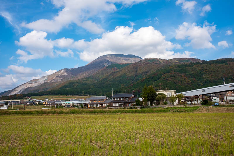
On my way back I remembered to take a shot of the mountain from afar, peak at the back, quarry on the left, ridge on the right has the road along it and inside it.
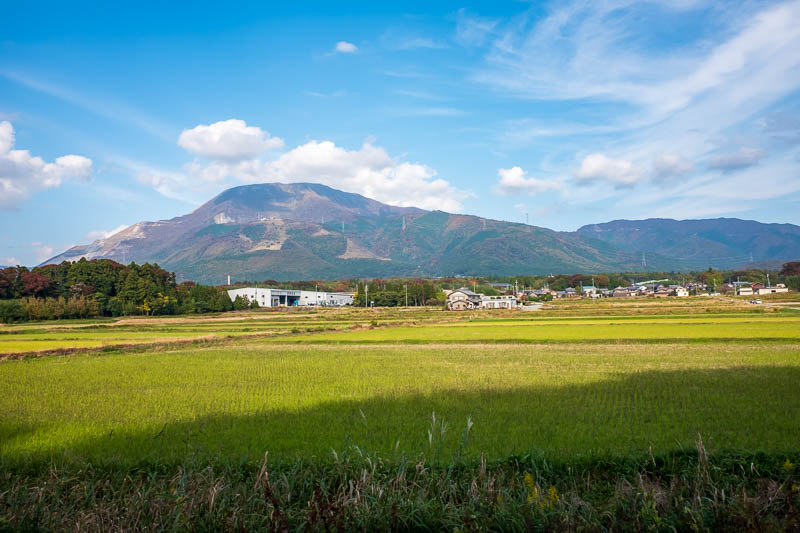
OK, one more, the way I went back to the station was on an old train line, at least I assume it was. It was flat, the right width, long sweeping curves.
At one point it went under the Shinkansen track, it was fun standing under it as they flew over head.
Today was a great day indeed!